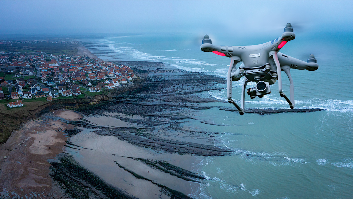
This study explores autonomous drone navigation for aerial cinematography, focusing on algorithms that enable drones to smoothly reach specified locations while maintaining high-definition camera quality. Using a simulation environment, the study tested multiple path planning algorithms and found that A* consistently outperformed others in both accuracy and efficiency, making it the most suitable for enhancing autonomous drone cinematography.
This project explores the autonomous movement of drones in aerial cinematography. Specifically, based on certain locations in a scene, I examined algorithms that will allow a drone to autonomously find the smoothest path to reach each location while maintaining smooth camera quality. Drones play a significant role in modern cinematography, particularly in creating dynamic aerial shots and panoramic photographs. Given their importance, drones must operate smoothly and reliably. Implementing autonomous path planning will reduce common challenges, such as collision risks, while also limiting manual navigation, minimizing the need for human intervention while enabling safer, more efficient, and faster filming with high-definition (HD) video quality. I used a simulation system, Gazebo, and the ROS (Robot Operating System) interface as an open-source platform for coding, and together they simulated autonomous drone movements. By creating and using multiple path planning algorithms—A-star (A*), Dijkstra’s, and Greedy Best First Search (GBFS)—I enabled the drone to autonomously move to a certain position while accounting for obstacles in a static environment. The drones were able to efficiently detect obstacles and calculate optimal routes, with A* demonstrating the highest average efficiency. In comparison to Dijkstra’s algorithm, A* often reduced pathfinding time by around 70%. Additionally, its paths were generally more accurate than the GBFS algorithm in various situations, reducing travel time by around 30% on average when larger obstacles and environments were tested. The results of this study present A* as the optimal path planning algorithm that can be implemented to improve autonomous drone cinematography in future applications. Furthermore, another form of path planning, which uses roadmaps to autonomously move a drone, is also explored to help prevent concerns with restricted areas and cluttered environments, and to allow personalized cinematography on human-made paths.
Explore More!
Related Projects

© 2022 Inspirit AI. All Rights Reserved.